


Zoom Earth

 |
Latest Version | 3.1 |
 |
Update | Apr,22/2025 |
 |
Developer | Neave Interactive |
 |
OS | Android 8.0+ |
 |
Category | Weather |
 |
Size | 28.5 MB |
 |
Google PlayStore |  |
| Tags: | Weather |
-
Latest Version
3.1
-
Update
Apr,22/2025
-
Developer
Neave Interactive
-
OS
Android 8.0+
-
Category
Weather
-
Size
28.5 MB
-
Google PlayStore


 Download(3.1)
Zoom Earth is your go-to interactive weather map and real-time hurricane tracker, designed to keep you informed about hurricanes, typhoons, and tropical cyclones as they happen. With a suite of advanced features, Zoom Earth ensures you stay ahead of the weather, no matter where you are in the world.
Key Features
Satellite Imagery: Experience the world's weather in near real-time with high-resolution satellite imagery sourced from NOAA GOES, JMA Himawari, EUMETSAT Meteosat, and NASA's Aqua and Terra polar-orbiting satellites. This feature provides a comprehensive view of global weather patterns.
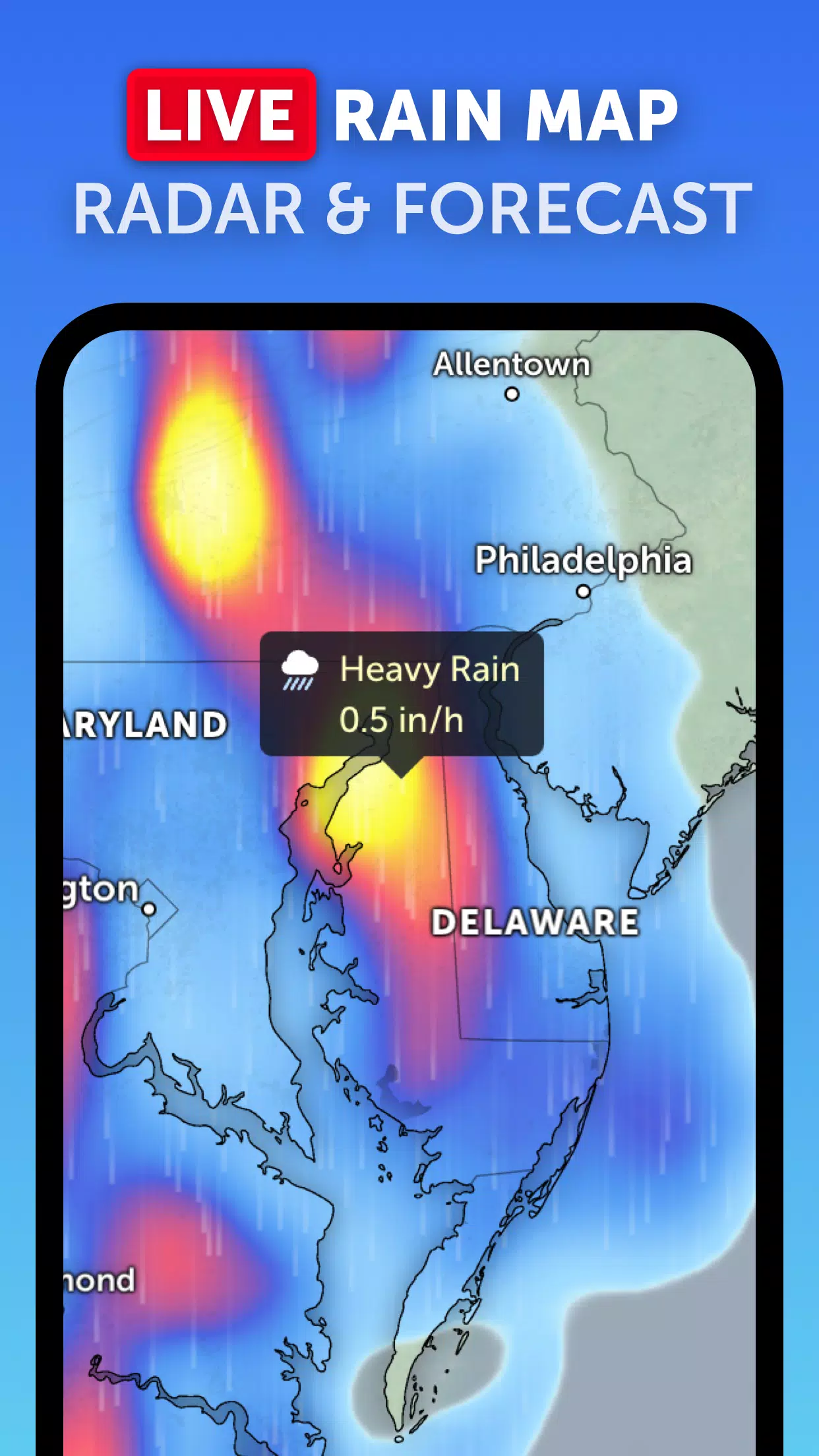
Rain Radar: Stay one step ahead of the storm with our detailed weather radar map. It displays real-time rain and snow data captured by ground-based Doppler radar, helping you prepare for incoming weather changes.
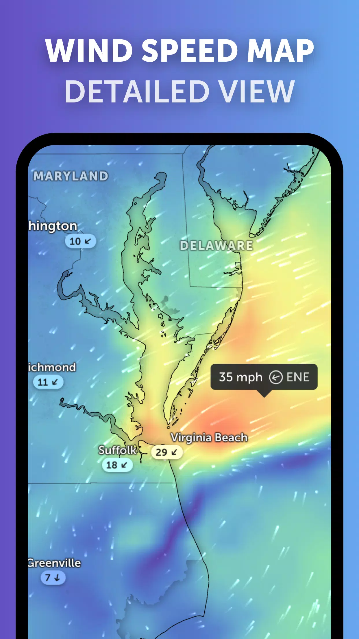
Weather Forecast Maps: Dive into visually stunning, interactive global forecast maps. These maps offer detailed insights into precipitation, wind speed and gusts, temperature, "feels like" temperature, relative humidity, dew point, and atmospheric pressure, ensuring you have all the information you need to plan your activities.
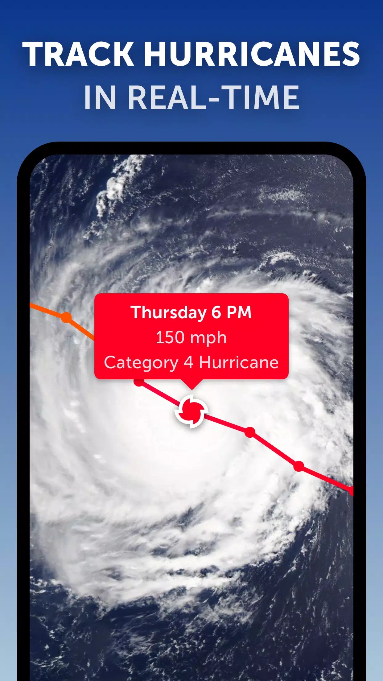
Hurricane Tracking: Track the progression of hurricanes from their inception to category 5 status in real-time. Our state-of-the-art tropical tracking system utilizes the latest data from the National Hurricane Center (NHC), Joint Typhoon Warning Center (JTWC), Naval Research Laboratory (NRL), and the International Best Track Archive for Climate Stewardship (IBTrACS), providing you with accurate and timely updates.
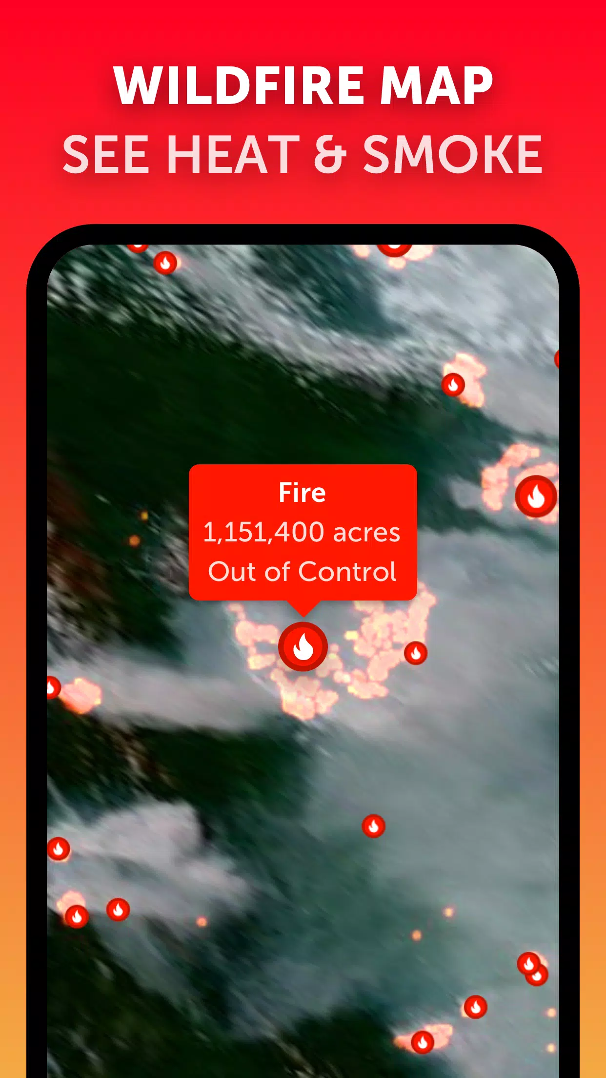
Wildfire Tracking: Keep an eye on wildfires with our active fires and heat spots overlay. This feature uses daily updates from NASA's Fire Information for Resource Management System (FIRMS) to show points of very high temperature detected by satellite, helping you monitor fire activity around the globe.
Customization: Tailor your weather experience with our extensive customization options. Adjust temperature units, wind units, time zone, animation styles, and more to suit your preferences.
What's New in Version 3.1
Last updated on Sep 19, 2024
- Enhanced user experience with reduced clutter when viewing multiple tropical systems.
- Improved functionality with separate alerts for Atlantic and Eastern Pacific systems.
- Refined map labels for clearer and more precise information display.
With Zoom Earth, you're equipped with the tools to track hurricanes, typhoons, and tropical cyclones in real-time, ensuring you're always prepared for whatever the weather brings.